It’s early Sunday morning, and I’m driving north along US Highway 287. It’s been raining almost every day for three weeks now, and the landscape’s raging like green wildfire.
Just south of Livermore, Colorado, I pull the car to the side of the road. The sun breaks through the clouds, and the morning light washes over the landscape in front of me. The prairie glows like a slice of fresh avocado against a dark ridge in the distance. That’s where I’m heading—up and over that moody ridge along a highway that bisects an ancient swathe of Colorado’s geological history.
I’ve stopped here to check my book, Roadside Geology of Colorado, a field guide to the rock formations along Colorado’s highways. Geology has long bewildered me, and despite my handy reference, I remain stubbornly confused. I inspect numerous maps, diagrams, and descriptions. Finally, I determine that the dark ridge in the distance is most likely part of the Lyons Sandstone hogback, a spine of rock that parallels the eastern foothills of the Front Range. I snap a quick photo before the clouds close in. The morning sunshine fades. I drive on.
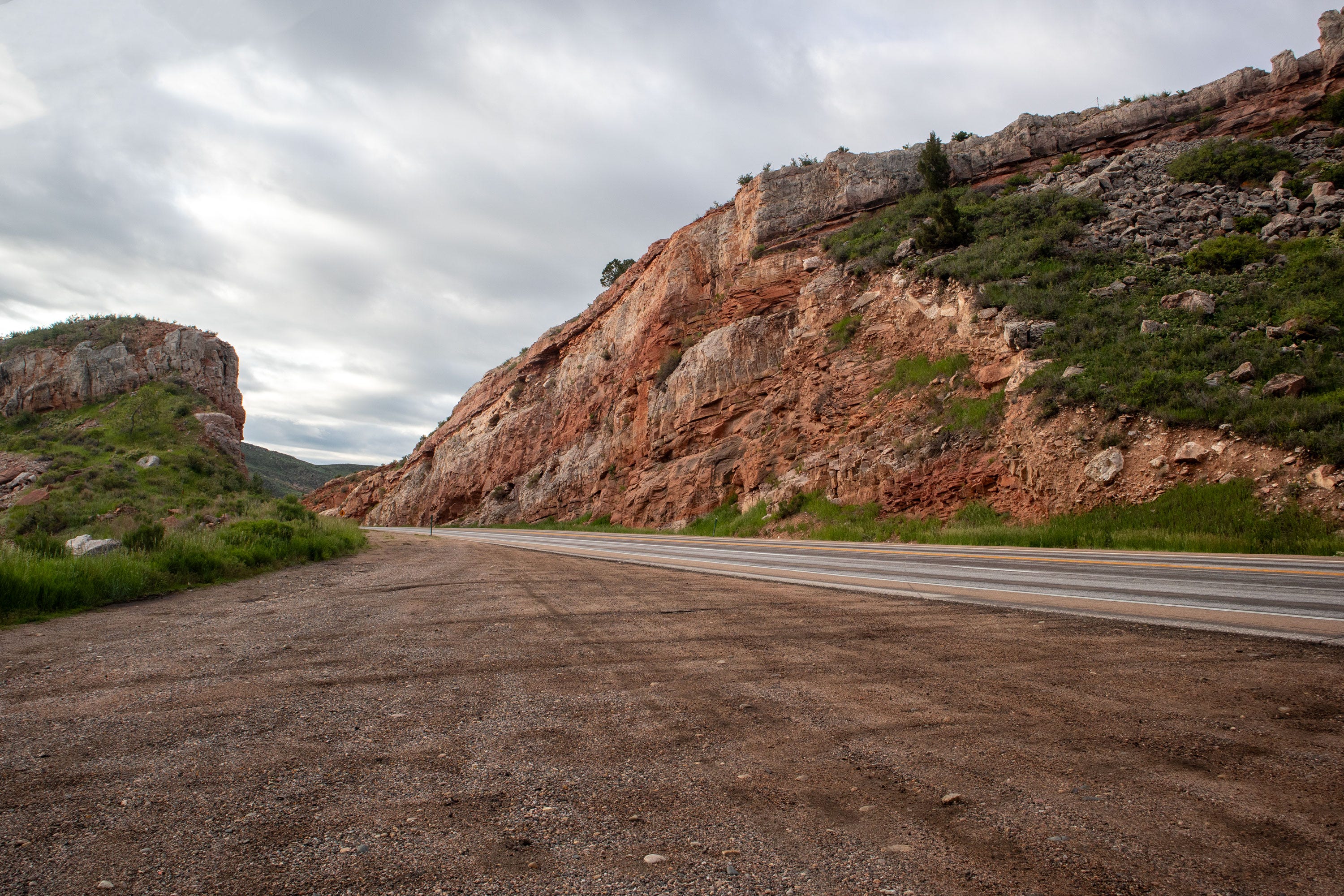
When I next stop, it’s at a point where the road cuts into the crest of the hogback. I get out of the car to inspect the exposed rock, which resembles a tilted layer cake of pink and red stone. I rub my hand across the surface, it feels warm and chalky. I consult my guide. This particular sandstone formed from quartz sand that was deposited and compressed some 250 million years ago.
Back in the car, I drive for a few miles to the crossroads town of Livermore. I’m delighted to find the Fork Merchantile & Saloon open. It’s the only restaurant for the next fifty miles, so I pause my journey for an egg & sausage muffin and a cup of coffee.
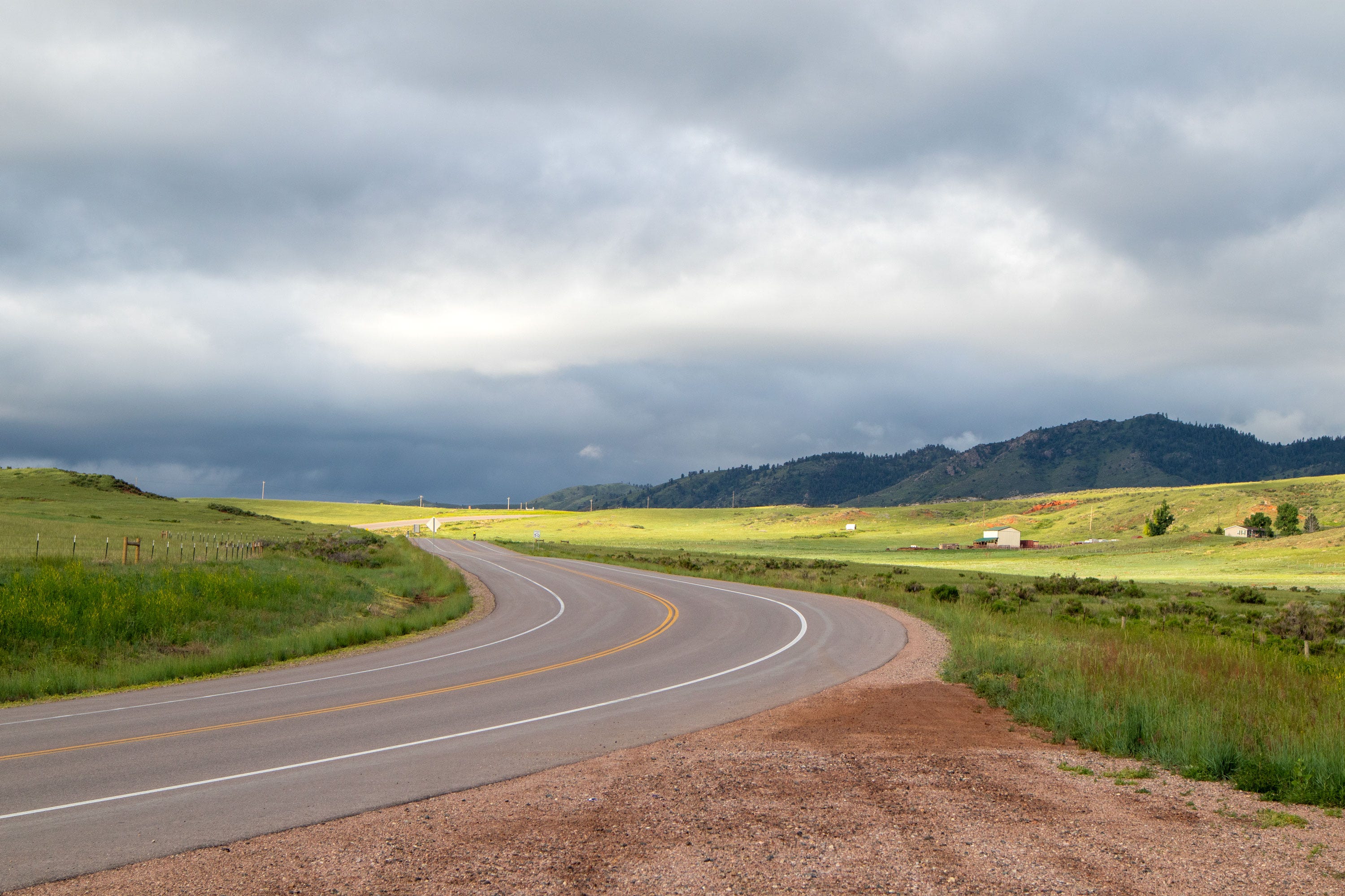
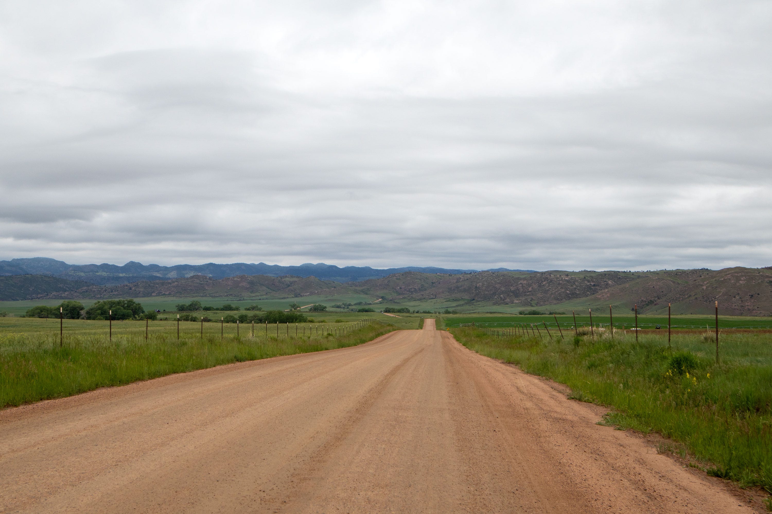
When I leave Livermore, the landscape changes. Hogbacks give way to distant rolling hills and wide vistas. I turn down a dirt road and drive west, hoping to get a closer look at the landscape. I continue for twenty minutes, but the mountains don’t seem to get any closer.
My map provides little guidance. The Red Feather Lakes—a popular camping area—are somewhere out there to the southwest, but this road bends to the north. When I turn the car around to head back, I’m treated to an extraordinary view. Driving west, the road seemed dull and flat. But I’ve ascended a thousand feet or so, and the added elevation offers me a scenic vantage.
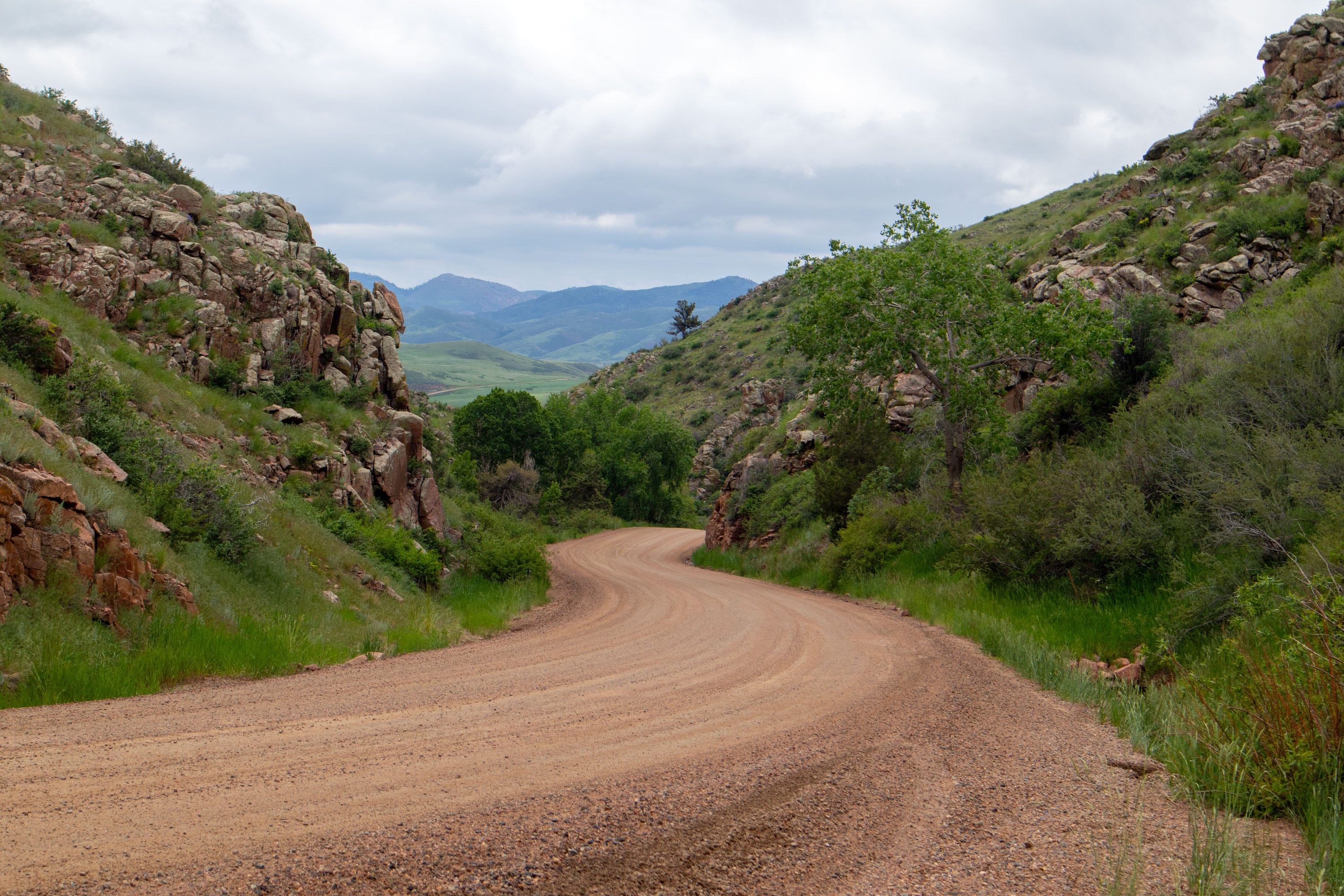
I stop again to try to understand what I’m seeing. The rocks here match the description of Sherman Granite. My guidebook tells me that this beautiful pink stone—made of grains of mica, pink feldspar, and quartz—is 1.4 billion years old. I touch the surface of an outcrop. It’s covered in gray lichens and feels smoother and denser than the Lyons Sandstone.
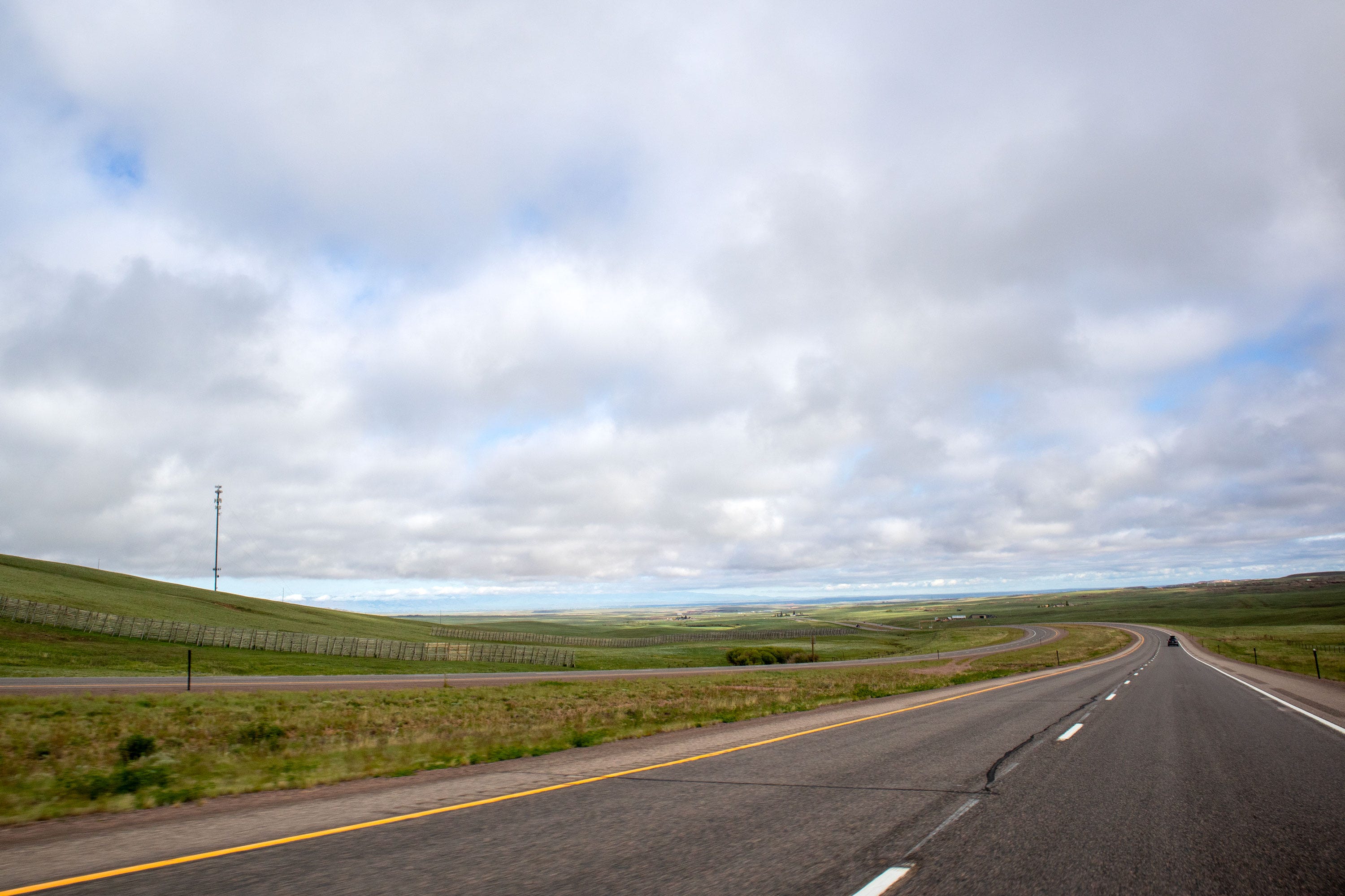
Back on the highway, I continue north across the Wyoming state line. The landscape has transformed again. I’m in Big Sky country now—the Laramie Valley. The clouds are loose and puffy. The Medicine Bow Mountains wrinkle the western horizon. It’s tempting to keep driving and exploring—north to Casper, west through the Wind River Reservation, all the way to the Tetons and Yellowstone.
Tempting but not possible. I come to my senses. In Laramie, I top up the tank before turning back home along US 287.
If you enjoy The Art of Exploration, help keep the adventures rolling.
Leave a little trail mix in the tip jar. Thanks!